
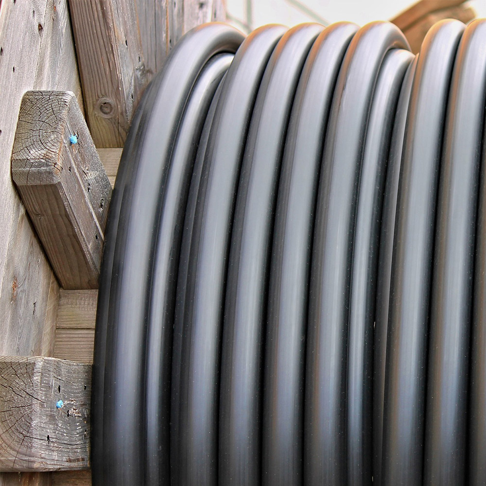
Utility Monitoring
The use of satellite data in the monitoring of the pipeline network
provides higher utility security and significant savings.

Infrastructure & Climate
A Country in Motion
It is commonly known that our country moves over time. However, what is new is that we can now calculate and map even the smallest elevations and depressions using satellite data.
Regional and local changes in the earth's surface layer have a significant impact on the functionality of underground infrastructure, including pipes and conduits.
Condition-Based Maintenance
Even movements of a few millimeters a year can accumulate over time and dramatically reduce the lifespan of the pipelines, as millimeters turn into centimeters and more. But by utilizing satellite data, we can closely monitor these movements in near real-time and make precise projections of the slope conditions.
This allows us to implement a more condition-based maintenance of the pipeline network, resulting in higher utility security and significant savings.


Satellite Data
Our use of satellite data provides us with a unique opportunity to monitor existing pipeline facilities and helps us plan new projects by combining these data with geological information.
The result is significant economic savings by projecting the slope conditions in the right direction from the start, thereby optimizing the lifespan of the new pipes.
Did you know, for example, that the depreciation period for sewer pipes can normally be 70-80 years? But if the slope conditions negatively affect functionality, this period can be significantly reduced.
We Continuously Monitor
We also focus on cost-effectiveness. By continuously monitoring the terrain's movement and the pipeline's slope conditions, condition-based maintenance can yield savings in the millions.
Our approach is also scalable, as we divide the monitoring areas and the effort into need-driven stages during the initial screening phase.